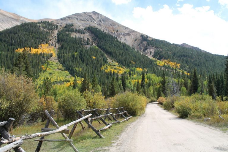
Encircling Leadville is the Mineral Belt Trail, one of Colorado’s highest and most scenic paved pathways. At 11.6 miles, this ADA accessible trail winds through aspen groves, conifer forests, and wildflower meadows, while providing stellar views of downtown Leadville and the Sawatch and Mosquito mountain ranges, most notably Mt. Elbert, Mt. Massive, and crystal blue Turquoise Lake.
In the summer, recreation enthusiasts bike, in-line skate, or walk this trail, taking advantage of Leadville’s cooler temperatures. In the winter, Leadville’s abundant snowfall provides ample opportunity for cross-country skiing, fat biking, and snowshoeing.
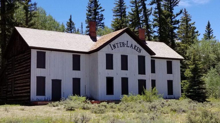
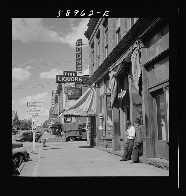
 The Mineral Belt Trail is perfect for history aficionados as it’s also an outdoor museum. For six miles, the trail meanders through Leadville’s mining district, where interpretive signs and mining artifacts chronicle the stories of notable figures who struck it rich, the building of Leadville, and the fall of Leadville’s great mines at the end of the silver boom. Additionally, railroad buffs can imagine what it was like to engineer a high-altitude train during Leadville’s boom days as the Mineral Belt Trail also traces remnant of several railroads, including the Mineral Belt, Colorado Midland, and Denver and Rio Grande Lines.
Trailheads and parking for The Mineral Belt Trail are available at the following locations:
Ice Palace Park
Lake County Aquatic Center
Dutch Henry Hill
County Road 2 at California Gulch
East Fifth Street Bridge
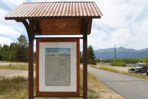
For detailed information on the historic sites found on the Mineral Belt Trail, visit www.MineralBeltTrail.com.